
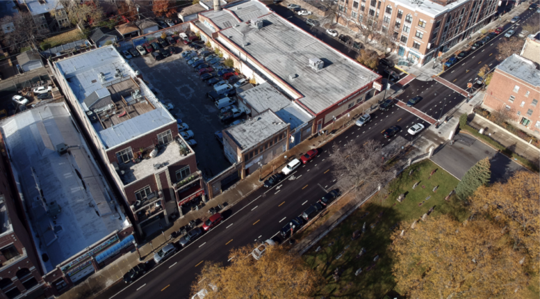
The City of Chicago has launched a new study to determine the future of N Clark Street in Sheridan Park, Winnemac, and Andersonville. The project led by the Department of Planning and Development along with the Uptown and Andersonville Chambers of Commerce will analyze the future of the commercial corridor as retail and dining experiences continue to change and evolve. Dubbed ‘Clark Street Crossroads,’ the stretch from W Montrose Avenue to the south up and W Foster Avenue to the north currently has a pedestrian street designation similar to the recently approved designation in the West Loop.
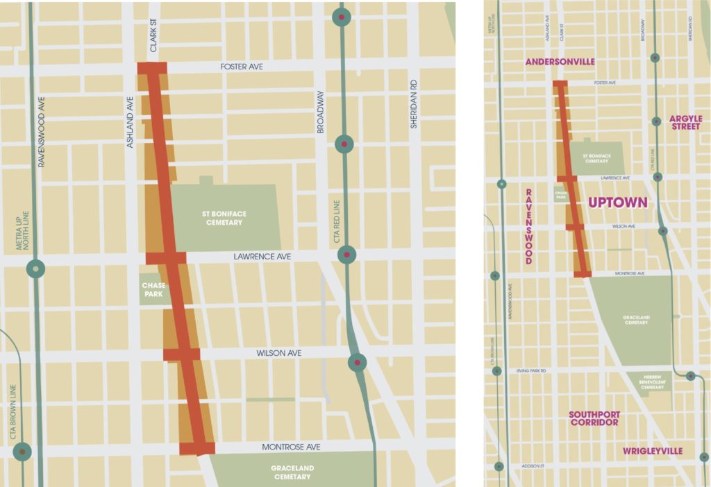
Site plan of Clark Street Crossroads via DPD
The area is characterized by its low-rise retail buildings, St. Boniface Cemetery, Chase Park, and countless local shops, near the famed Aragon Ballroom and multiple public transportation options. Because of this, roughly 40,000 people call the area home within a half-mile from the corridor, contributing to a diverse economy. The $250,000 study and implementation is expected to find the following:
- Capture the diverse voices of the community and work collaboratively to ensure they guide the process.
- Understand what makes the corridor unique and preserve that in what is created.
- Collaboratively identify appropriate types and scales of new development along the corridor.
- Introduce uses that increase foot traffic.
- Identify public realm improvements for gathering, art, and placemaking.
- Improving streetscapes improvements to promote additional comfort and safety for pedestrians and cyclists.
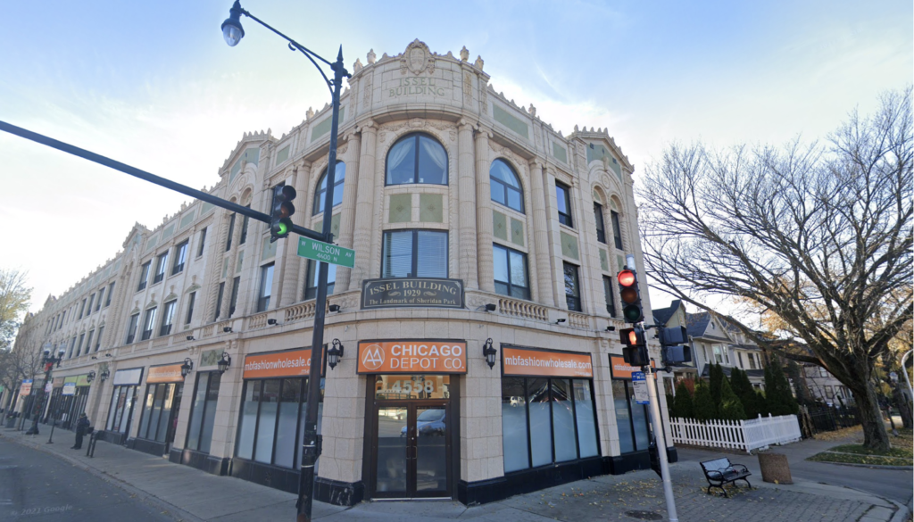
Current view of buildings along N Clark Street via Google Maps
The study began in July 2021 and its timeline is split into three phases, the Discovery phase from July 2021 to January 2022, Conceptualization from January to March 2022, and the final Documentation phase from March to May of 2022. The city along with design firm SmithGroup have now launched a website for community outreach and feedback as they prepare for the first community workshop later this month.
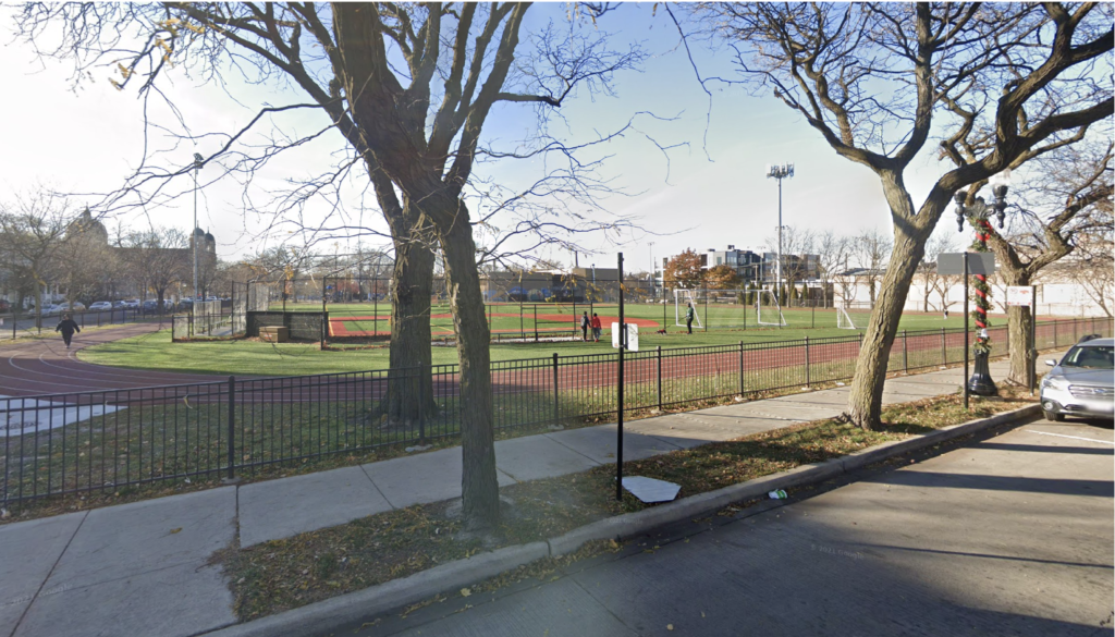
Current view of Chase Park along N Clark Street via Google Maps
Through the colorful website residents can begin expressing their thoughts in unique ways including defining the soundtrack of Clark Street Crossroads where you can submit a song that makes you think of the area here. Users can also submit interactive maps defining what they like and hope to see improve along the corridor which can be found here, coupled with multiple workshops and upcoming surveys, the designers hope to capture the overall desire for the future.
Subscribe to YIMBY’s daily e-mail
Follow YIMBYgram for real-time photo updates
Like YIMBY on Facebook
Follow YIMBY’s Twitter for the latest in YIMBYnews
Add protected bike lanes this entire stretch and pedestrianize the rest of Clark north of Foster to Ashland