Detailed plans for Shapack‘s West Town megadevelpmont now dubbed “NOMA” have been reviewed by the Committee on Design for advisory guidance and recommendations. The proposed 3.25-acre assemblage in the River West area would yield 1,500 new residential units, a hotel, and a range of new commercial offerings like retail and dining.
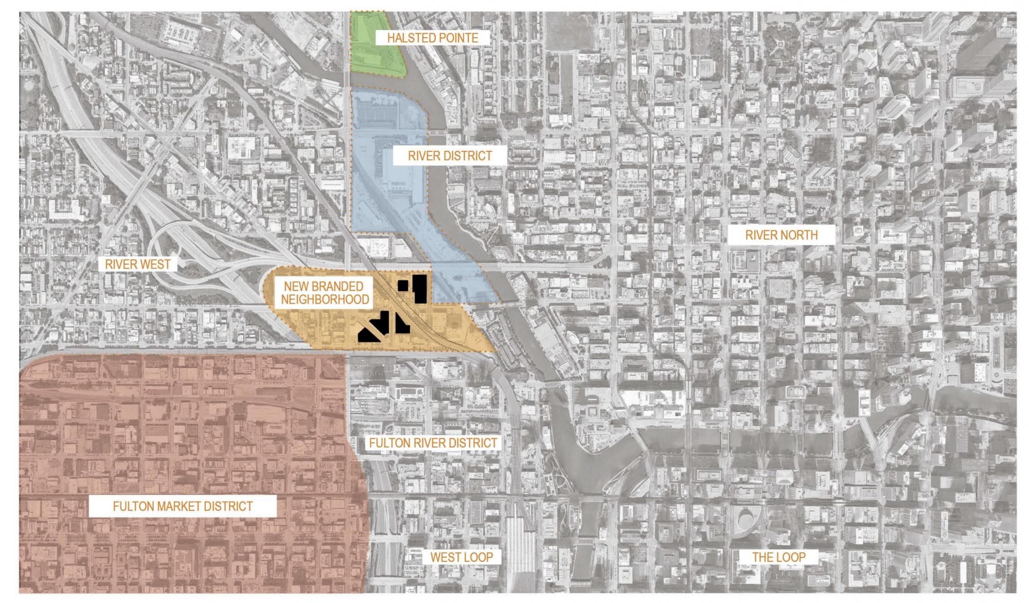
NOMA site context. Visual by by ODA / Shapack / Eckenhoff Saunders Architects
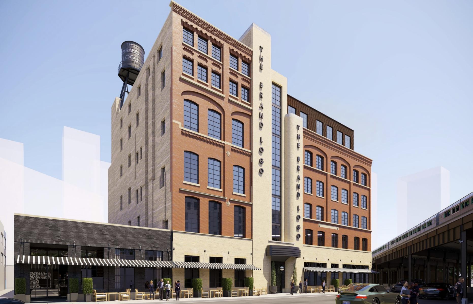
Salvation Army Building hotel and dining conversion. Rendering by Eckenhoff Saunders Architects
The assemblage revolves around the former Salvation Army Building, which Shapack plans to integrate by converting the structure into a 141-key hotel and restaurant venue envisioned by Eckenhoff Saunders Architects. The existing multi-tone masonry facade will be refurbished and have its windows replaced, and a new masonry penthouse enclosure will be added atop a portion of the roof.
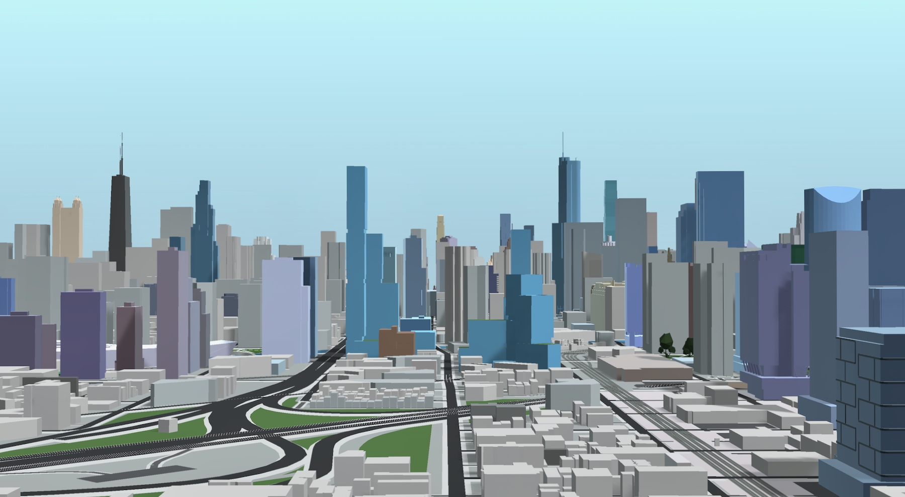
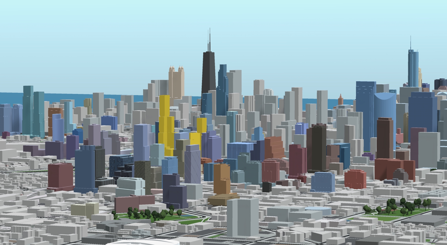
NOMA (center). Model by Jack Crawford

NOMA (right of center). Model by Jack Crawford
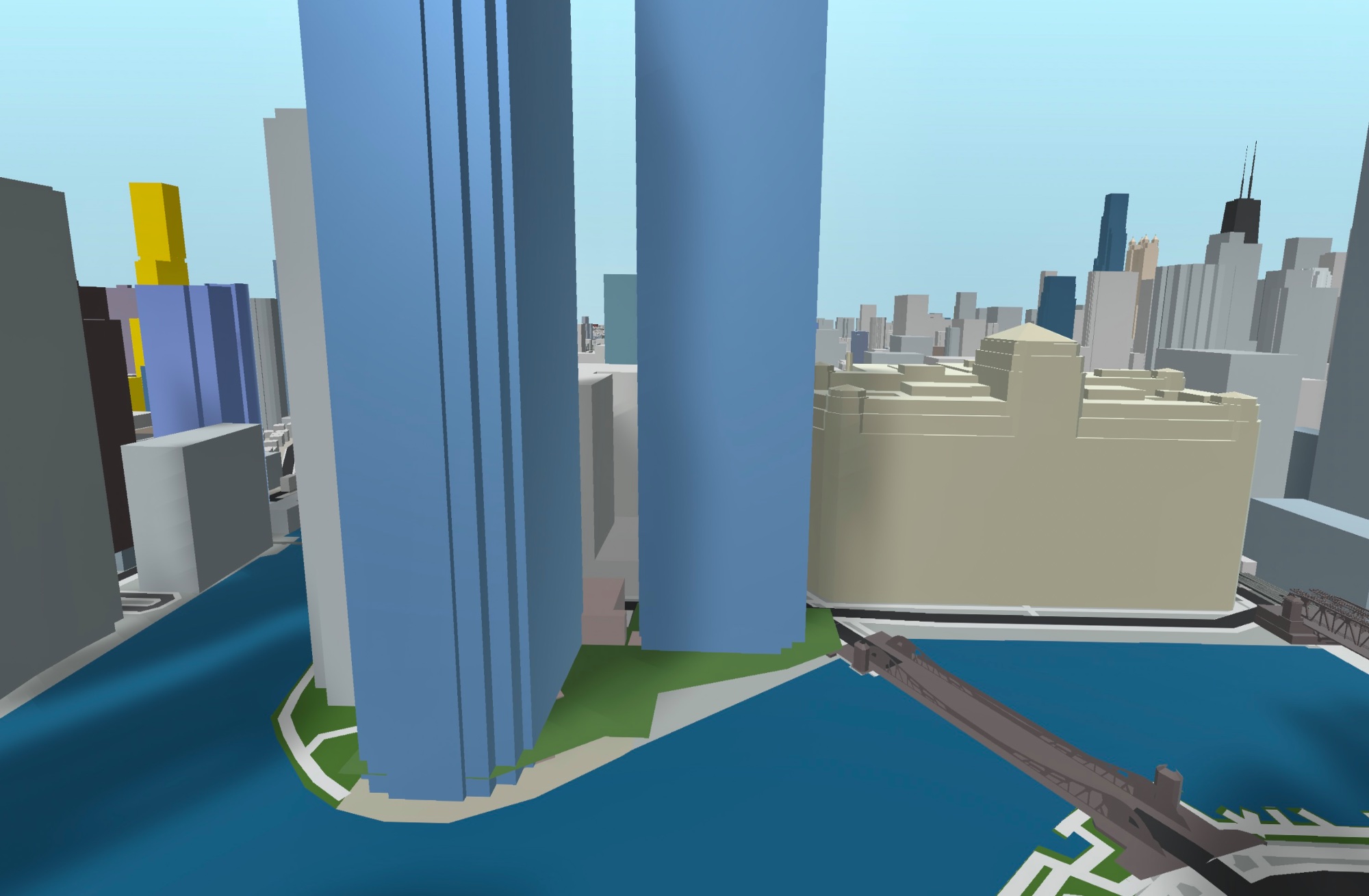
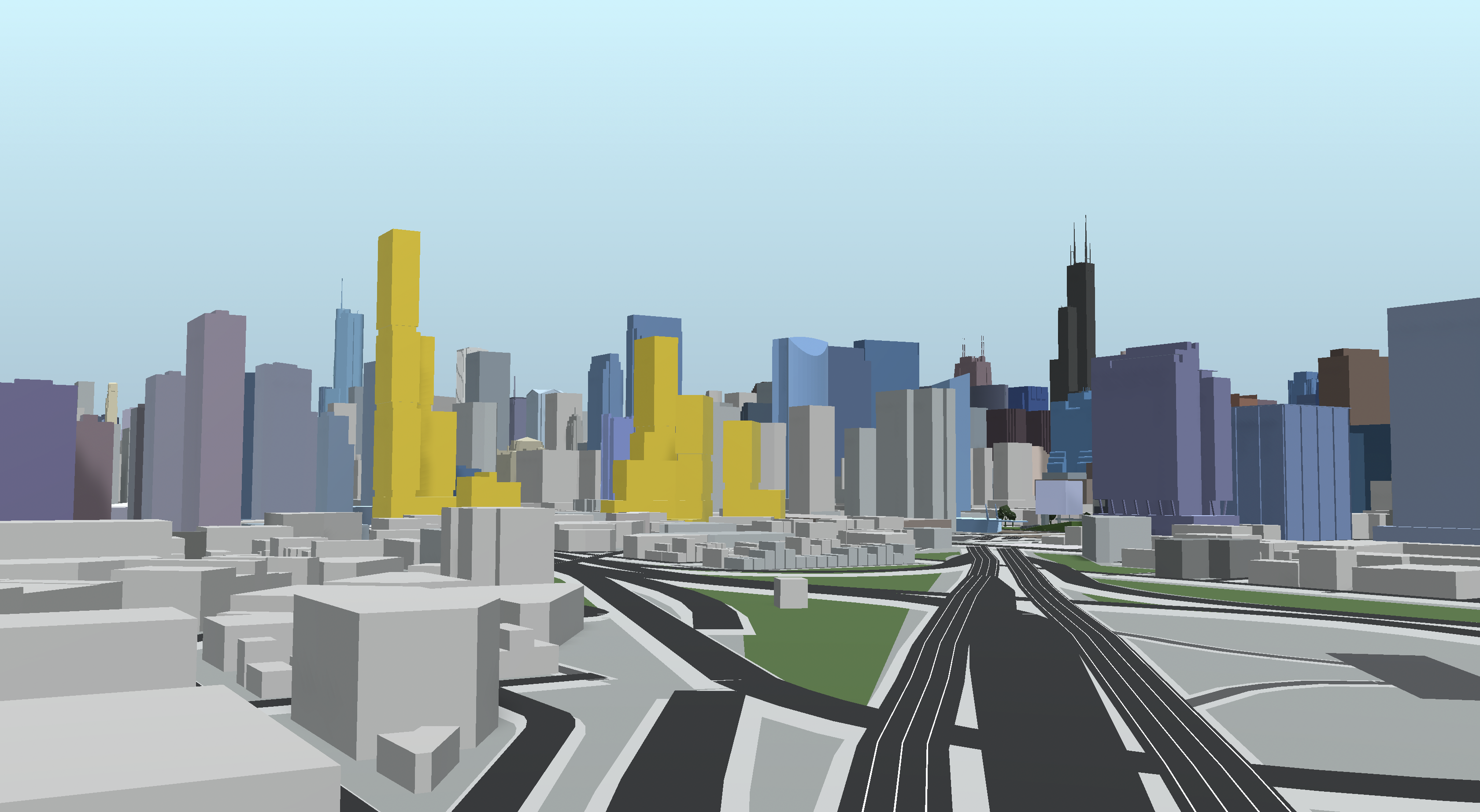
NOMA (gold). Model by Jack Crawford
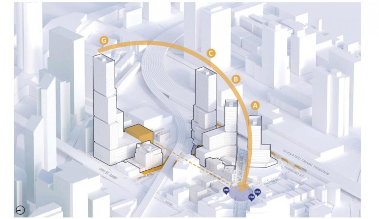
The masterplan would comprise of four parcels, labeled A, B, C, and G, across five city blocks.. Shapack is working with New York-based firm ODA to envision three different versions of the buildings’ massings, two of which have four towers and one having five. The four-tower options each have one substantially taller skyscraper breaking into the 600 to 700-foot range. The first option extend from an L-shaped footprint with setbacks on each wing to create a tapering effect. The second variation also makes use of the L shape, except with one of its wings inverted to cantilever rather than step in.
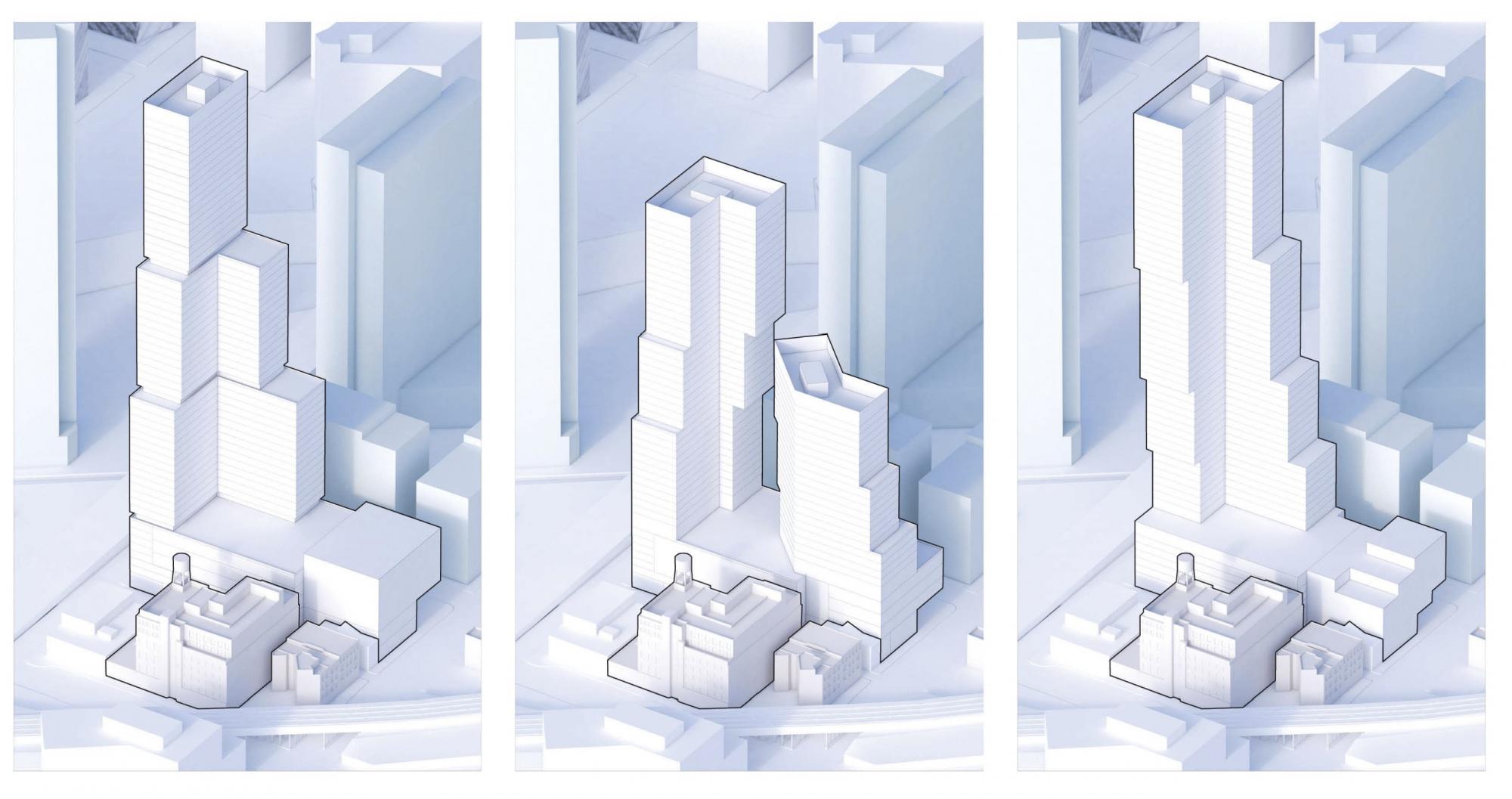
NOMA Parcel G design options (first option is used in model) Conceptual renderings by ODA / Shapack / Eckenhoff Saunders Architects
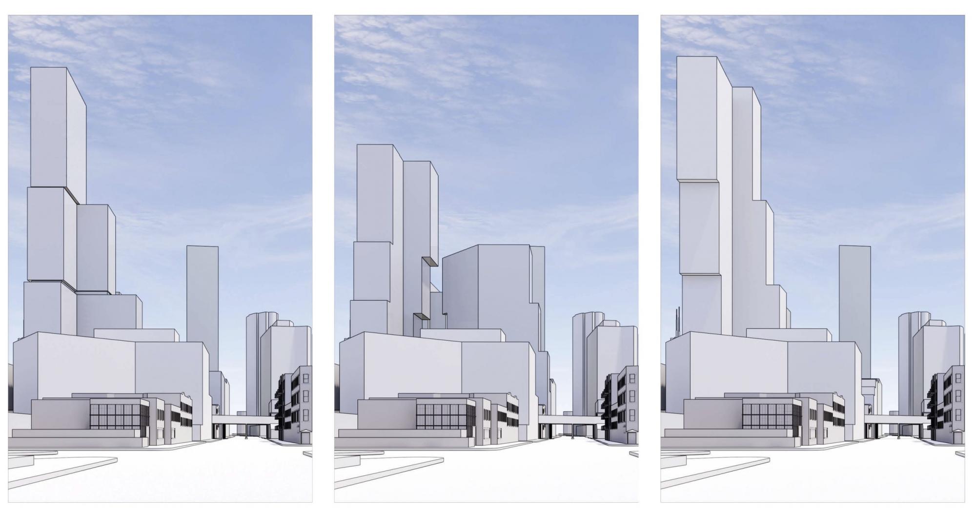
NOMA Parcel G design options (first option is used in model) Conceptual renderings by ODA / Shapack / Eckenhoff Saunders Architects
The final five-tower version would split Parcel G floor into two shorter buildings of differing heights. The taller of the pair would be located on the north end of the block and also utilize the cantilever-out/step-in pattern. The shorter second tower would bend at its center in a wide V shape.
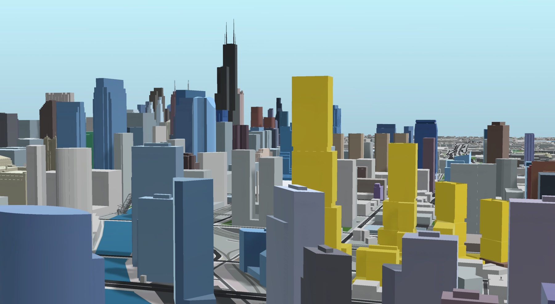
NOMA (gold). Model by Jack Crawford
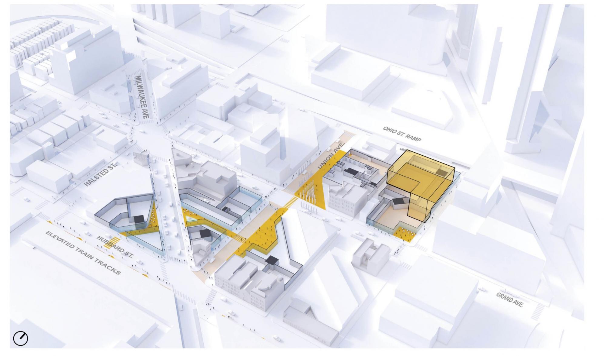
NOMA Mews network. Rendering by ODA / Shapack / Eckenhoff Saunders Architects
As outlined in Urbanize’s in-depth overview, the scheme will be heavily geared towards walkability and public spaces. Shapack is spearheading a new network of corridors throughout multiple blocks in West Town and West Loop known as The Mews.
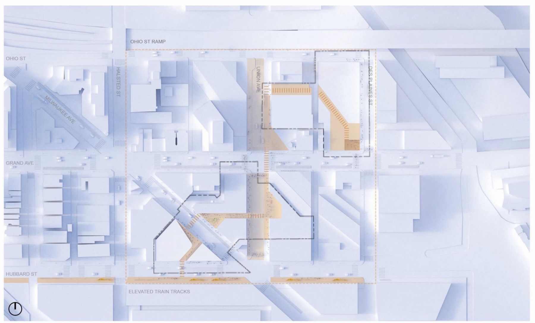
NOMA Mews network. Plan by ODA / Shapack / Eckenhoff Saunders Architects
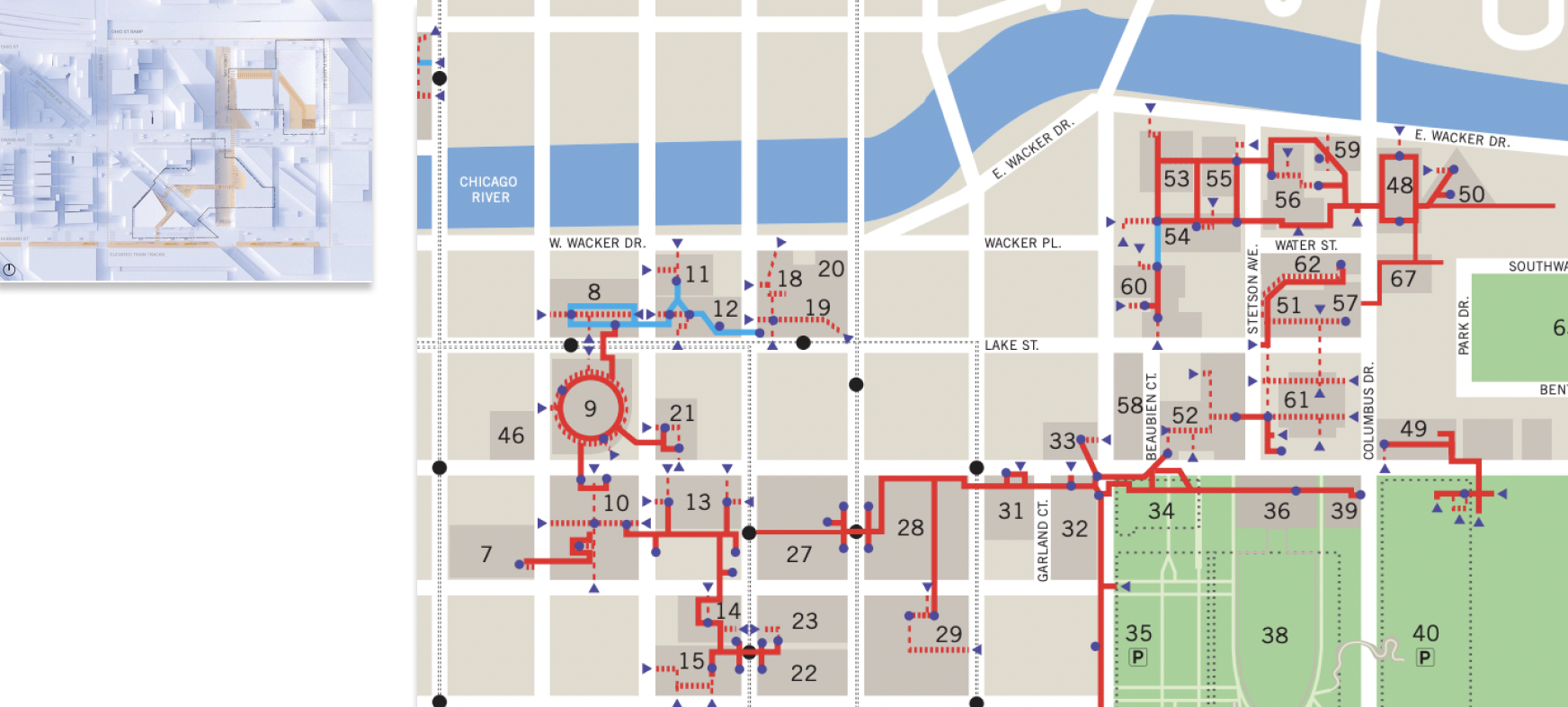
To-scale comparison of NOMA’s proposed Mews network (left) and existing Chicago Pedway in The Loop (right). Right image via City of Chicago
Loosely resembling a smaller, modern, and more open version of the Chicago Pedway, the Mews concept is already being applied just to the south at two adjacent Shapack projects: the completed 167 N Green Street and the City-approved 170 N Green Street. Making up their own interconnected system, the linking corridors not only serve as pedestrian thoroughfares, but also new micro-destinations in the form of retail, dining, plazas, and park spaces.
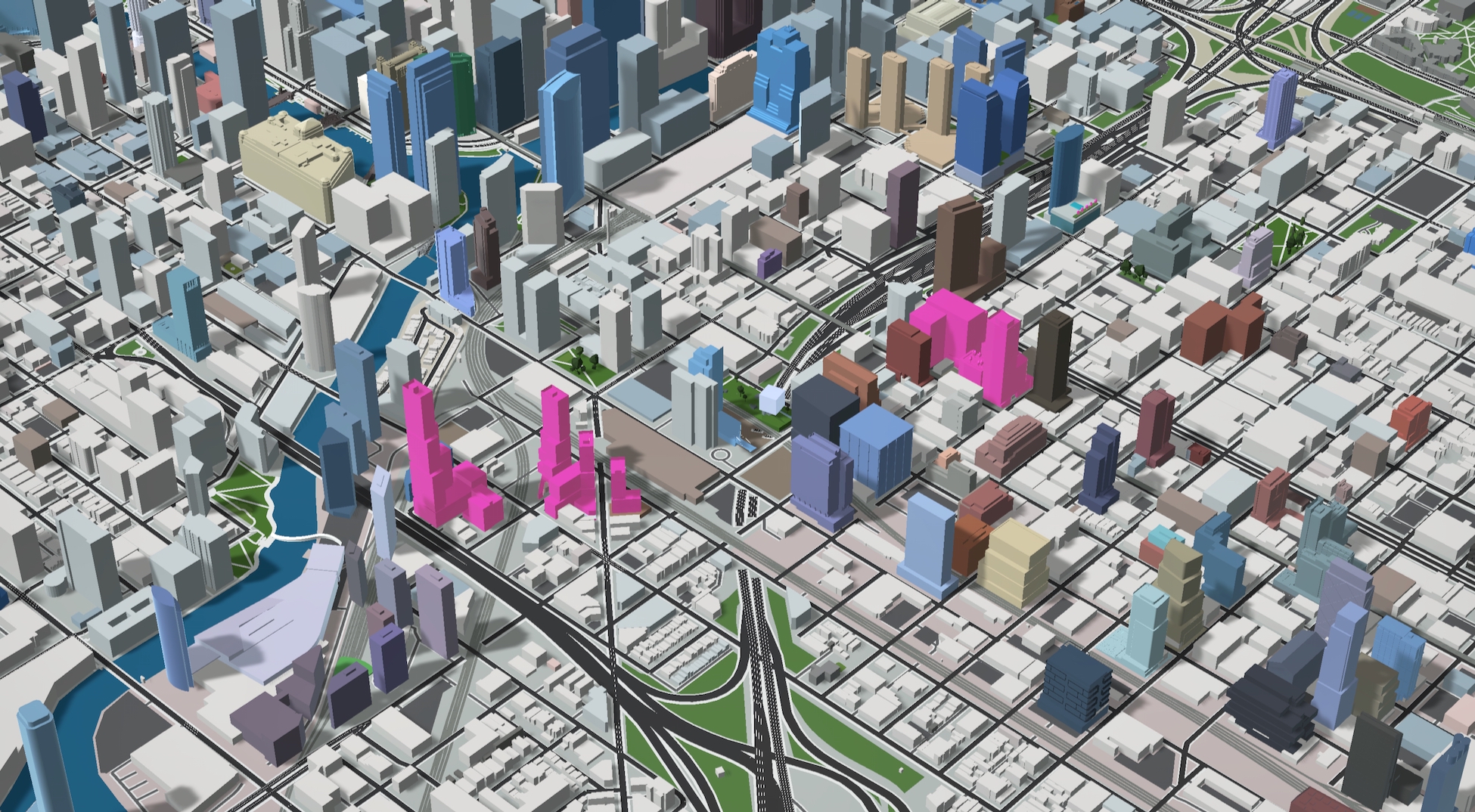
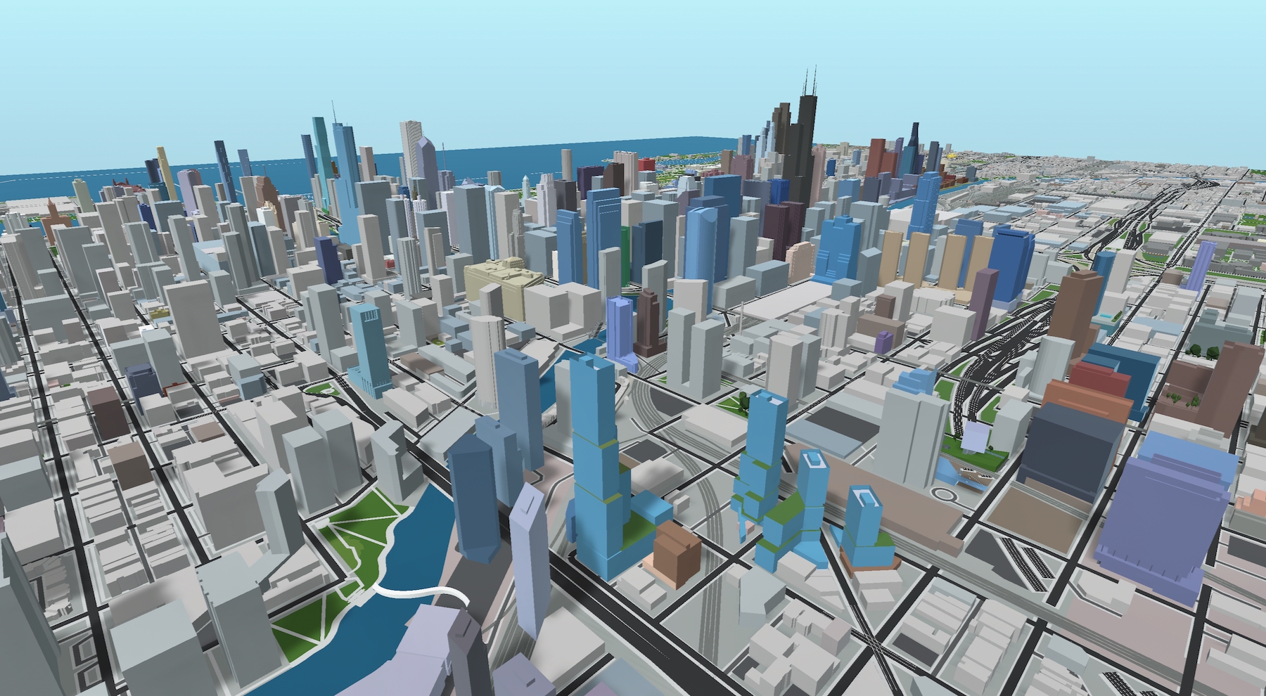
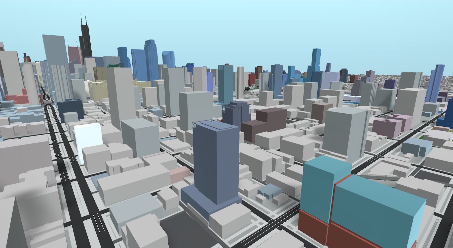
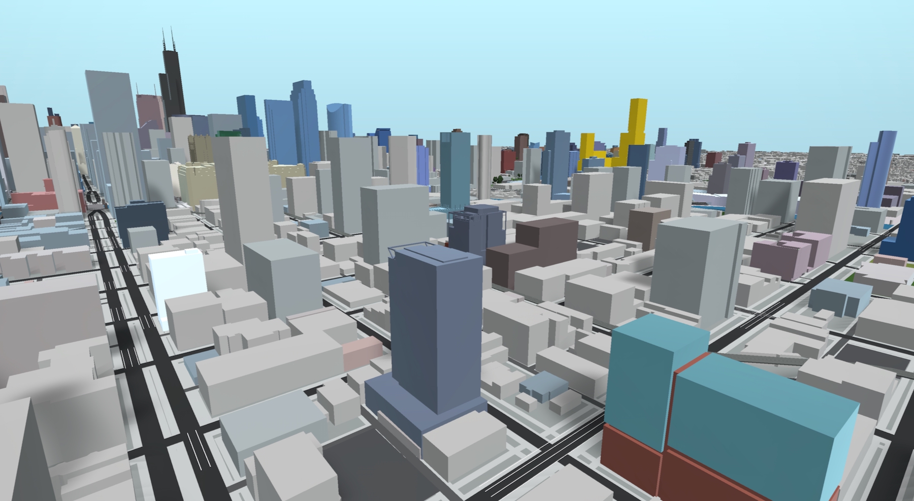
Shapack projects utilizing The Mews concept (NOMA on left; 167 N Green Street second from right; 170 N Green Street on right). Model by Jack Crawford
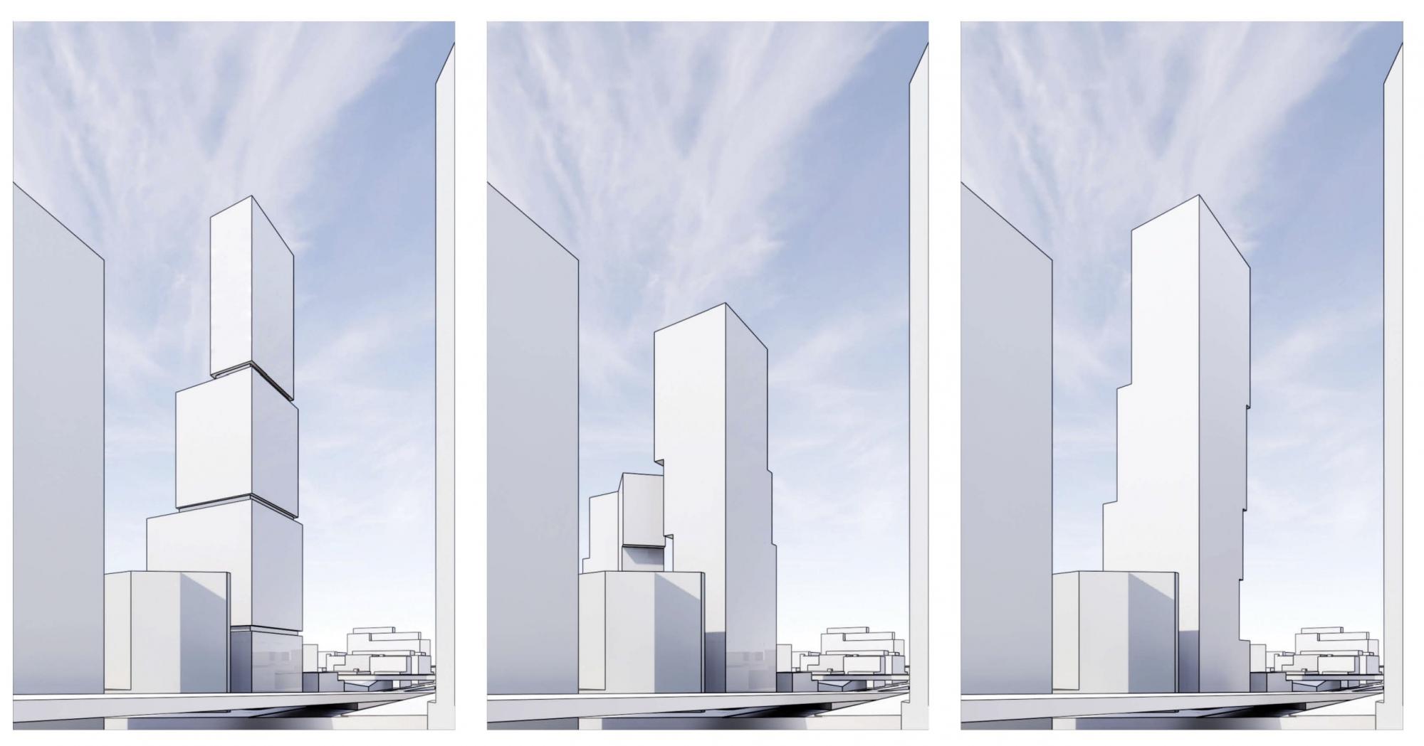
NOMA Parcel G design options (first option is used in model) Conceptual renderings by ODA / Shapack / Eckenhoff Saunders Architects
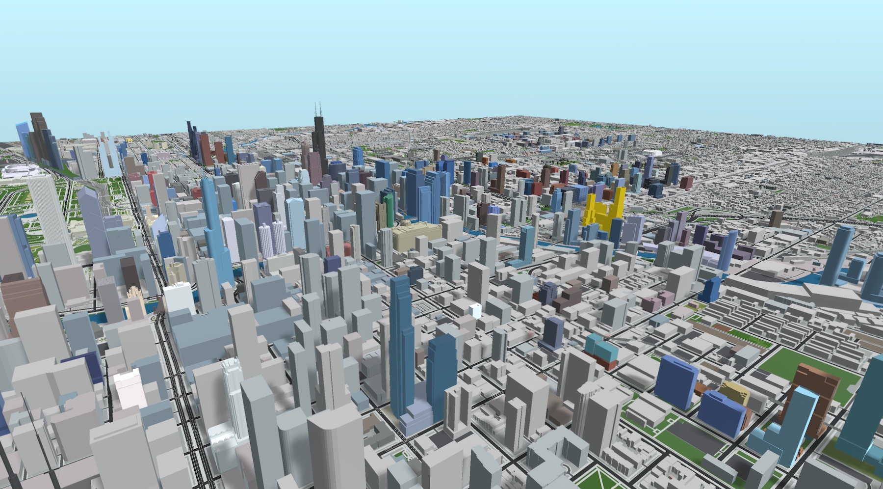
NOMA (gold). Model by Jack Crawford
With three other large masterplans also in the planning processes (Lincoln Yards, Halsted Pointe, and the city-selected casino/entertainment district) and an assortment of single-building projects, the North Branch corridor is beginning to take shape as a new arm of the Chicago skyline. The emerging density of this area will be bolstered by existing public transit infrastructure and future improvements to the system. Just to the northwest of NOMA, bus service for Routes 8, 56, and 65, along with the Blue Line’s Grand Station, are oriented around the intersection of Grand, Milwaukee, and Halsted.
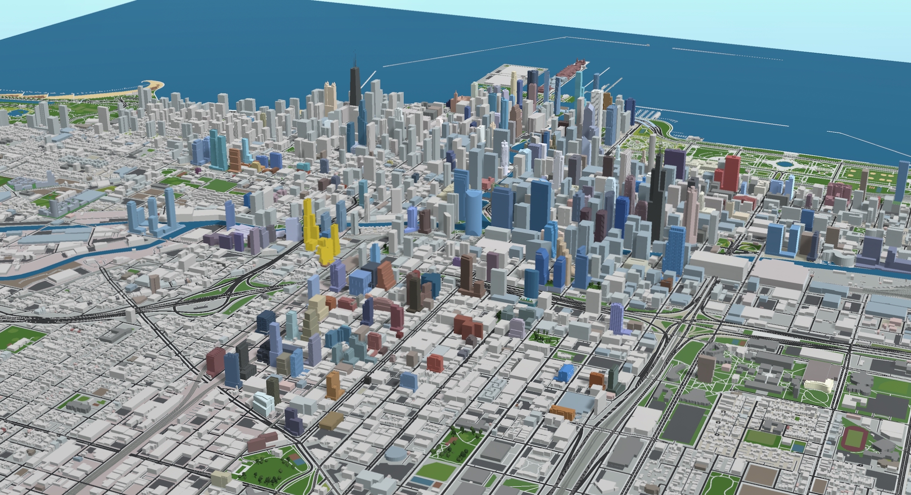
NOMA (gold). Model by Jack Crawford
As of now, Shapack is consulting with the Chicago Department of Transportation over the viability of different aspects of The Mews, while also taking into consideration the committee’s various points such as its skyline impact and potential for architectural experimentation. The developer will also require an approval for the submitted zoning application, as well as approvals from the Chicago Plan Commission, Committee on Zoning, and ultimately the Chicago City Council. Currently, a completion timeline has not yet been revealed.
Subscribe to YIMBY’s daily e-mail
Follow YIMBYgram for real-time photo updates
Like YIMBY on Facebook
Follow YIMBY’s Twitter for the latest in YIMBYnews

I’ve been hoping for some significant development on these parcels for a long time.
But, realtor-based neighborhood names:
Is “Halstead Pointe” pronounced “Halstead Point”, “Halstead Pointy”, or “Halstead Poin-tay”?
I believe “Point” E is silent. I believe it is old time English to write it that way.
I would have gone South Park naming for the intersection, MilHaGr or something like that.
Ya “NOMA” is a terrible name.
Nice scale and density here anyway. Hopefully we don’t see the two building scheme for Parcel-G, a single taller tower would offer more presence in the skyline. ODA is a talented firm that has Studio Gang type vision and creativity. If these turn out to be blue glass slabs with minimal detailing then we’ll know they weren’t given any significant budget to work with in typical Chicago fashion. Even these massing models look much less sculptured than what they’re known for.
That is going to be a lot of density in a boxed in area. The Mil-Ha-Gr intersection is already hell and the 65 & 8 buses are always late. They might have to bad street parking on Grand and Halsted for blocks so that public transit and traffic can flow.
I hope the casino and this cause a redevelopment of Halsted from Chicago to Hubbard.
Capping part of 90/94 for green space has made more and more sense lately. With Fulton Market development moving North, the future casino site and now this development in between, it seems like there’s a really strong case to cap the smaller gaps in between the existing caps to create green space to connect these disjointed areas. Ideally this would be extended to Lake street and eventually further, but even just working with the existing highway caps would really do a lot.
Is “NOMA” supposed to be short for something? In SF, SOMA is South of Market (Street). Or is NOMA solely the development’s name?
My guess would be “NOrth of MilwAukee” but have not confirmed
Nice vid Jack! Love the 3D model you’ve made. Also that’s a great smile in your YouTube profile pic!
Thanks so much! Model undergoing a major update right now – more coming soon
Perhaps NOMA is “NOrth of Milwaukee Avenue”?