
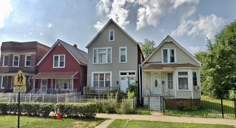
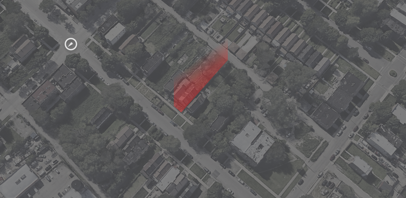
Emergency demolition permits have been issued for a two-story residential frame building at 4229 W Maypole Avenue in West Garfield Park. The City of Chicago owns the property, which appears to have been vacant prior to its slated demolition. However, the exact nature of the reason for demolition was not specified.
4229 W Maypole Avenue, via Google Maps
The City has not indicated what will replace the structure. However, the area is currently zoned for RT-4, which allows for two-flats, townhouses, low-density apartment buildings, and single family residences. RT-4 also has a maximum height of 38 feet for residential buildings. The floor area ratio, meanwhile, is 1.2, which means that the total floor area can be up to 1.2 times the area of the site itself.
Nearby bus transit includes east and westbound stops for Route 20, located a seven-minute walk south to Madison & Keeler. Meanwhile, Route 53 is located a seven-minute walk southeast at Pulaski & Maypole for the northbound stop and the adjacent Pulaski & West End for the southbound stop.
CTA L Green Line access is in close proximity to the site, residing a six-minute walk northeast at Pulaski station. Blue Line access can also be found via a 23-minute walk southeast to the other Pulaski station.
Outdoor space within a quick walk’s distance consists of the 1.15-acre Mason (Elizabeth) Park, just one block east.
Leeway Wrecker Inc. is the wrecking contractor for the building. No timeline regarding the demolition or any replacing development has been indicated.
Subscribe to YIMBY’s daily e-mail
![]()
Follow YIMBYgram for real-time photo updates
Like YIMBY on Facebook
Follow YIMBY’s Twitter for the latest in YIMBYnews
Be the first to comment on "Demo Permits Issued for 4229 W Maypole Avenue in West Garfield Park"